The MOTUS Wildlife Tracking System is an international collaborative research network that uses cooperative automated radio telemetry to track small flying organisms (birds, bats, and insects). When compared to other technologies, automated radio telemetry currently allows researchers to track some of the smallest animals possible, with high temporal and geographic precision, over great distances. The system enables a community of researchers, educators, organizations, and citizens to undertake impactful, cost-effective, research and education on the ecology and conservation of migratory animals.
MOTUS collaborators have contributed to hundreds of academic publications covering a wide range of disciplines such as breeding and post-breeding dispersal, stopover and migration behavior, habitat use, and overwintering ecology. Data collected by MOTUS is revolutionizing our understanding of migratory animals and is being used in conservation planning for species and sites, status assessments and recovery plans for species at risk, environmental assessment and mitigation planning for development projects, and contributing to numerous continental conservation efforts. (est. 2022)
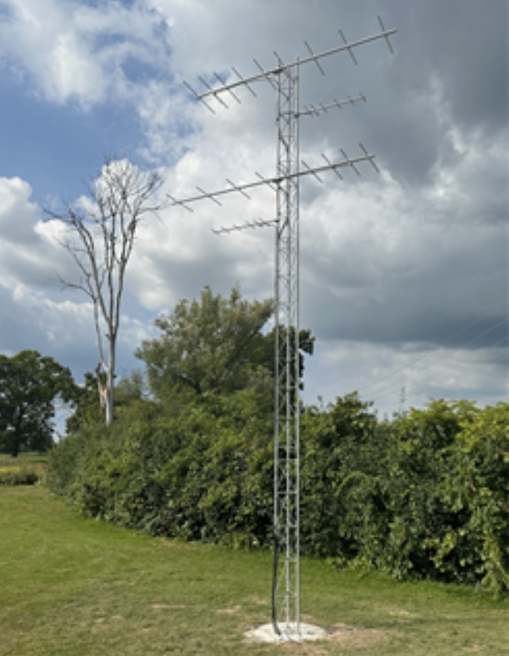
MOTUS Receiving Antennas located along the northern property line of the Huron Hills Golf Course

